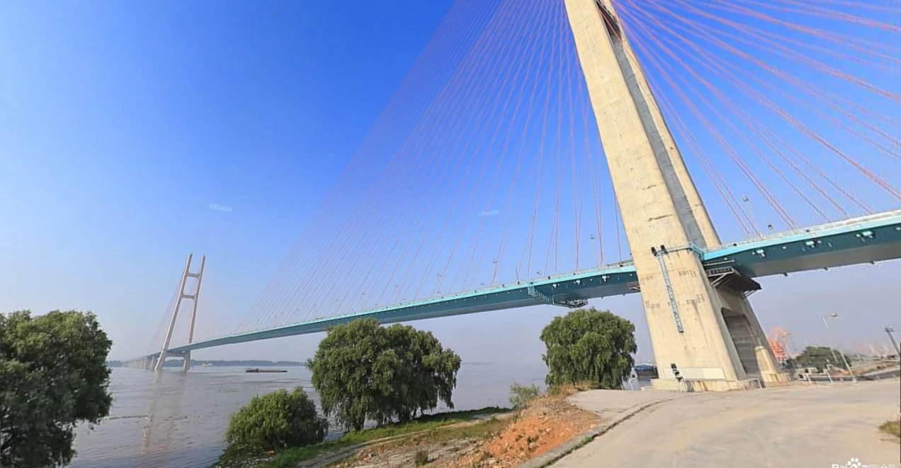
The measurement setup
System configuration
- iPos MS11
- Integrated navigation, with position, attitude and time-related information for the survey workflow.
- iBeam8120
- Multibeam sounding for the underwater terrain and pier-area survey.
- Swiftsvp
- Sound velocity profiling as part of the measurement setup.
Configuration documented in September 2019. Current hardware, software and integration requirements are reviewed for each project.
FIELD RECORD / 01
Working beneath the bridge
The field record identifies satellite visibility beneath the bridge as a positioning concern. The selected setup combined inertial navigation with multibeam sounding for the bridge-area task.
The documented survey area extended approximately 200 m upstream and downstream. Survey-line spacing was adjusted to the water depth and the intended coverage.
FIELD RECORD / 02
Sensor geometry and installation
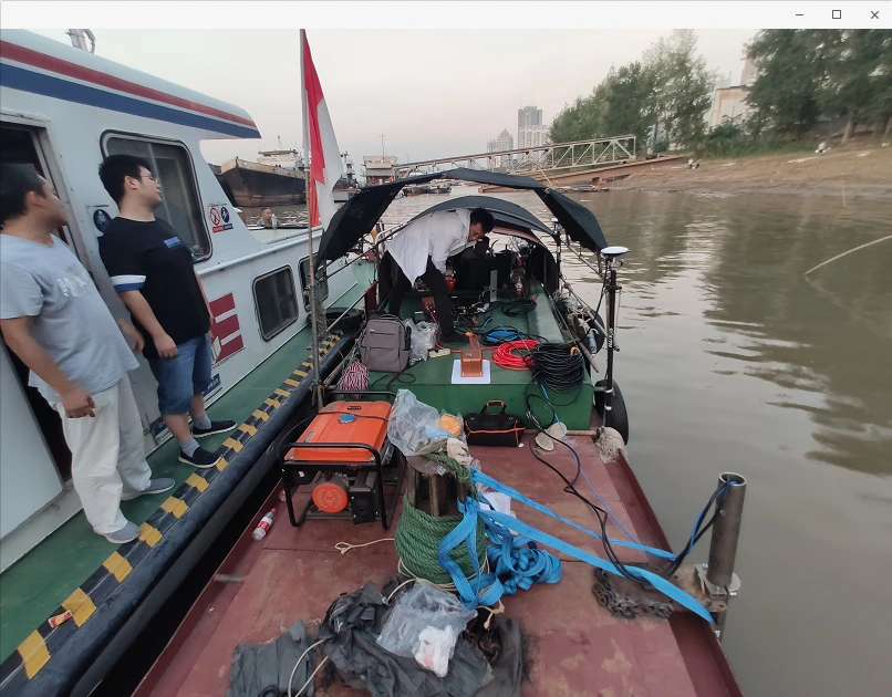
The installation record describes measuring the offsets between the GNSS antenna phase centre, the IMU centre and the multibeam transducer. These measurements established the relative sensor positions used in the setup.
The photograph documents the vessel arrangement used for this survey. Mounting positions and offsets need to be established for each vessel and sensor configuration.
FIELD RECORD / 03
Calibration before acquisition
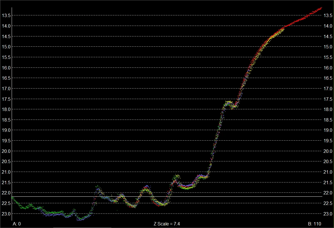
The workflow included roll, pitch and yaw installation calibration using overlapping survey lines. Profile views were inspected to compare the alignment of the survey strips.
The recorded profiles provide a view of this calibration process; they do not establish a quantified navigation error during a GNSS outage.
FIELD RECORD / 04
Sections and point clouds around pier 22
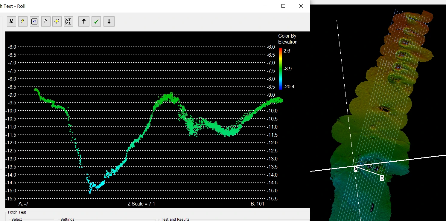
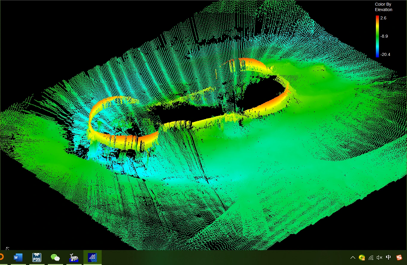
The record includes sections taken near pier 22 and three-dimensional point-cloud views of its underwater surroundings. HiMAX MBE was used for multibeam data processing and display; the navigation system and its software supported the position, attitude and timing workflow.
These outputs document the measured geometry. Specific damage or structural-condition findings require the corresponding engineering assessment and supporting records.
Context & participation
About this record
This historical application record identifies the system configuration, field procedure and survey outputs. It is presented as an application reference; it does not assign an overall project-delivery role to RAYSEN or provide a specified GNSS-outage performance guarantee.