APPLICATIONS / SURFACE & UNDERWATER
Inertial Navigation for Surface & Underwater Applications
Standard products, integration adaptation and application-specific R&D for platforms working on and below the water. Our vessel-based hydrographic surveying experience provides a practical starting point.
Hydrographic Surveying
A navigation reference for the complete measurement chain.
Multibeam surveying needs vessel position, roll, pitch, heading and heave to locate measurements and compensate for vessel motion. The iPos MS family provides these navigation inputs, with model selection and integration support for your survey setup.
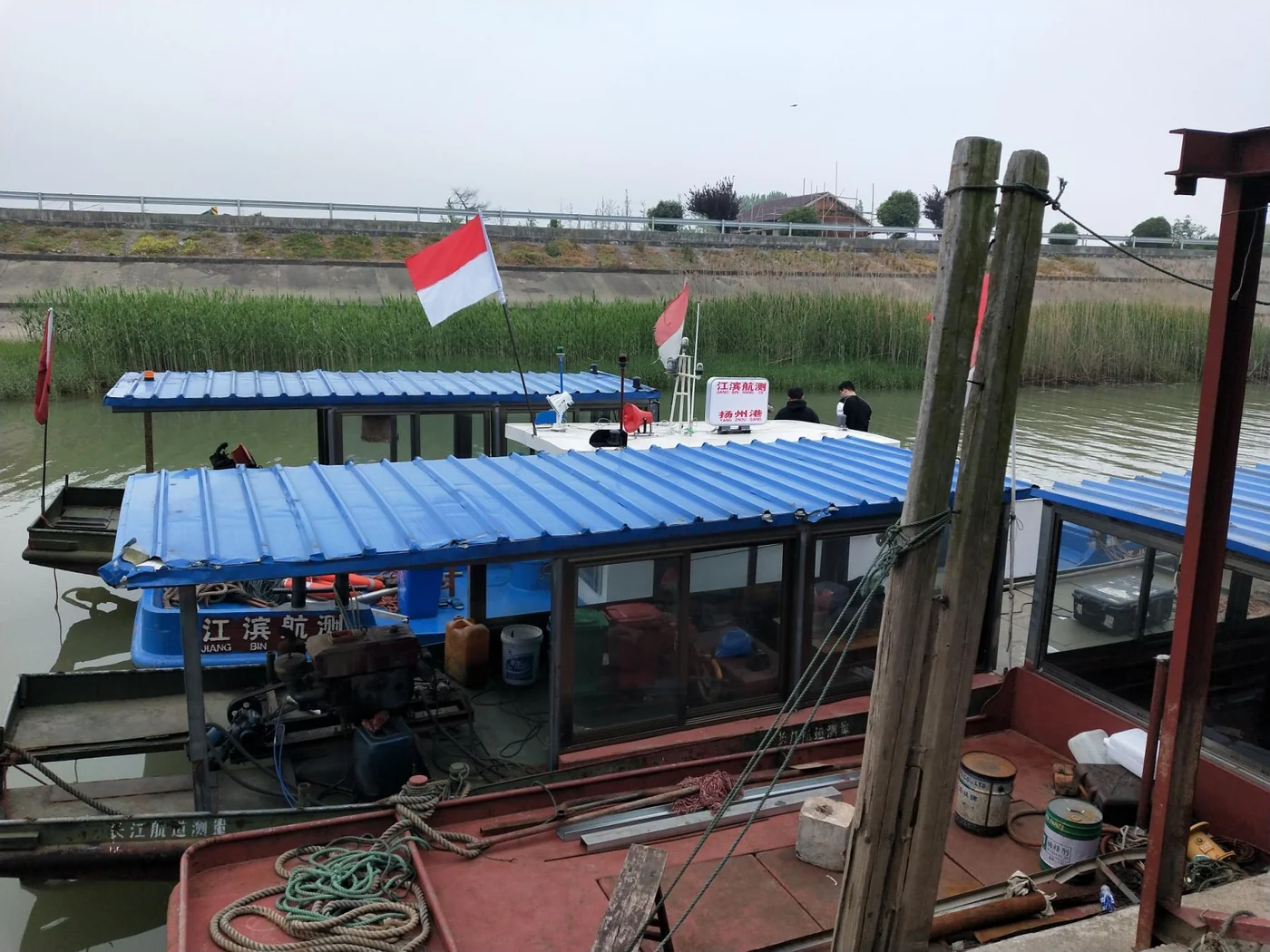
Historical records include a bridge-pier survey in Jiujiang and a harbour-basin field demonstration in Bangkok, using iPos MS11 with multibeam equipment. Explore the survey workflow, integration requirements and recorded outputs in the application detail.
Surface Vessel Positioning & Attitude
Position and attitude for equipment working aboard your vessel.
Provide downstream equipment and onboard systems with platform position, roll, pitch and heading. Start with the information your equipment needs, then select the navigation configuration around the vessel, application and operating conditions.
What we provide
Standard configuration selection, interface and output adaptation, and application-specific R&D around target accuracy and operating conditions.
What defines the setup
Your platform and task, required outputs and accuracy, GNSS visibility, connected equipment, message formats and synchronization requirements.
The navigation scope and verification approach are defined against your downstream system’s requirements, including installation geometry and the available GNSS conditions.
PRODUCT / ADAPTATION / DEVELOPMENT
Match the work to the requirement.
Standard products
Compare the available navigation models and configurations against your application and accuracy needs.
Explore model selectionIntegration adaptation
Align outputs, interfaces, installation geometry and connected equipment with the platform’s working conditions.
Review integration workApplication-specific R&D
Define development and validation around the task, target performance and operating constraints.
Explore custom engineering