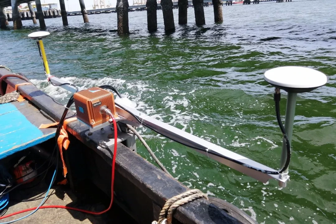
The measurement setup
System configuration
- iPos MS11
- Integrated navigation supporting the position, attitude and timing inputs to the survey system.
- iBeam8120
- Multibeam sounding used to collect the harbour-basin terrain data.
Configuration documented in August 2019. Current hardware, software and integration requirements are reviewed for each project.
FIELD RECORD / 01
Installation and commissioning
According to the field record, RaysenNav technicians worked with partner test personnel on installing and commissioning the navigation and multibeam equipment. They also explained the combined survey workflow to visitors.
The vessel carried the multibeam equipment, navigation unit and GNSS antennas. The installation and software setup were prepared before survey-line acquisition.

FIELD RECORD / 02
Survey lines and calibration
The team divided the basin into smaller working areas and ran lines parallel to the shoreline. Additional lines were used in shallower areas to complete the planned coverage.
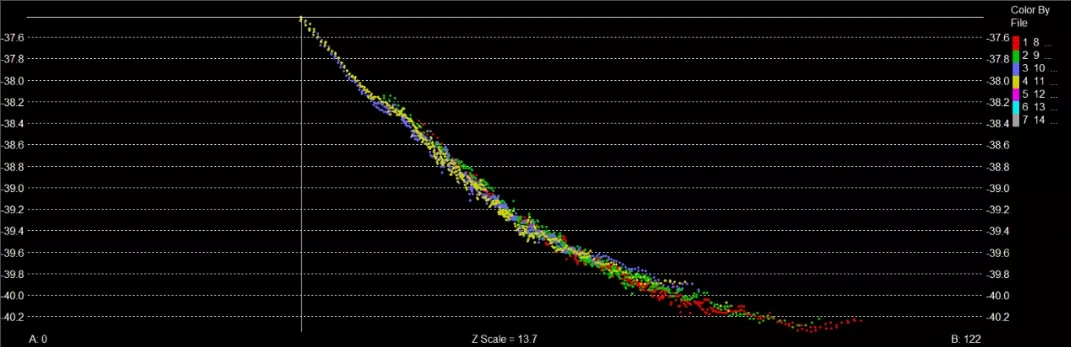
Roll, pitch and yaw calibration used overlapping lines selected for the local terrain. The record includes transverse and longitudinal profiles for inspecting the calibration data.
FIELD RECORD / 03
Acquisition and terrain review
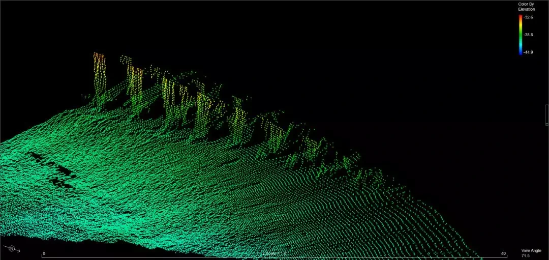
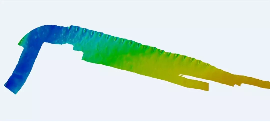
Visitors observed data acquisition and software operation during the demonstration. Navigation information was used within the combined survey workflow, while multibeam data was processed to produce terrain views.
The source record identifies HiMAX MBE as the software used to generate the terrain result shown below. The point-cloud and terrain views illustrate the measured harbour-basin geometry.

FIELD RECORD / 04
Checking consistency between survey lines
The record describes comparing two reciprocal survey lines using grid-model differences. This provides an internal consistency check between the selected datasets.
The analysis is evidence of the comparison workflow. It does not independently establish absolute survey accuracy, the standalone navigation accuracy of iPos MS11, or compliance with all requirements of a survey standard.
Context & participation
About this record
The source describes a joint field demonstration and records RaysenNav participation in installation, commissioning and technical explanation. The terrain outputs belong to the combined measurement workflow. This record does not establish a complete commercial delivery or an independent performance certification.